868.697,26 €
POCI-01-0247-FEDER-047173


POCI-01-0247-FEDER-047173
Level (lead promoter), Universidade do Minho, InnovationPoint e CEiia

The physical impacts of climate change on natural infrastructure can compromise supply, communication and transport services and increase the risk of accidents. Thus, there is a need to study, monitor and propose measures to preserve infrastructure whose vulnerability to the impacts of climate change is a global concern. However, the recent advances in monitoring technologies do not allow their adoption on a large scale, representing a problem for communication infrastructure management companies that, in recent years, have needed to monitor this type of elements in greater numbers.
GeoCrit proposes to solve these difficulties through the development of an integrated monitoring system of local and global scale of geotechnical assets (retaining walls and slopes), capable of addressing the asset from its geological genesis to the prediction of the effect of climate change on its degradation. This solution will make it possible to understand the effects of these climatic actions in increasing the geological risk associated with significant landslides.
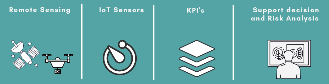
This new monitoring system will be developed combining different techniques from remote sensing to in situ collection capable of collecting vital signs from structures. GeoCrit also proposes the development of synergetic wireless and surface sensors that allow, in a more economic manner, continuous and real-time monitoring of changes and displacements in structures.
To achieve this goal successfully, GeoCrit will be developed by a consortium made up of 2 companies (Levels & Measures and Innovation Point) and 3 ENESII (University of Minho and CEiiA) whose competences are complementary in critical areas of development.
1. Cost-effective sensoring network to monitor geotechnical assets in a large scale and in real time;
2. Application of remote sensing and laser scanning techniques to support the monitoring and collection of relevant information concerning the geotechnical asset stability;
3. Development of a SIG integrating platform for data representation including the IoT sensors and remote sensing information;
4. Development of integrative methodologies to use for the prediction of instability and degradation (assess the effect of climate change; environmental, economic and structural factors);
5. Identification and definition of the Key Performance Indicators (KPI) to use on the decision support system and help infrastructure companies manage critical these assets.